Research Brief: Precise Tree Measurements Using Terrestrial Laser Scanning (TLS)
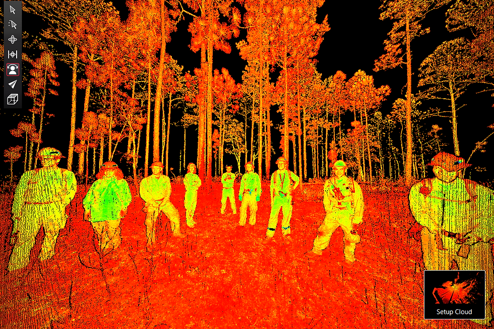
Emerging technologies such as Terrestrial Laser Scanning (TLS) offer more efficient, precise, and standardized monitoring by capturing detailed plot-level 3D data. TLS via the Interagency Ecosystem LiDAR Monitoring program (IntELiMon) enables rapid, repeatable measurements of forest structure, habitat conditions, and fuel characteristics, improving data quality and compatibility, supporting large-scale cross-boundary monitoring efforts, and enhancing communication of environmental changes over time.
This brief compares standard forestry measurements of plot-level mean tree height and DBH as collected by conventional manual methods and IntELiMon TLS methods.
TO READ THE BRIEF, CLICK BELOW TO DOWNLOAD IT
Authors of this brief include Louise Loudermilk, Michael Gallagher, and Russell Parsons of the United States Forest Service; Scott Pokswinski, Jacob Ney, and Chandler Eli of the New Mexico Consortium; Juan Castorena and Rodman Linn of Los Alamos National Laboratory; Aaron Maxwell and Matthew Wozniak of West Virginia University; Lucas Wells of SilvxLabs; Nick Seanor of Fort Stewart; Chris Davis of Savannah River Site; and Shawn DeFrance of the Confederated Salish and Kootenai Tribes. We would like to acknowledge and thank natural resources staff at all field sites who assisted with data collection and co-production efforts.